Guide Gran Canaria
Maspalomas Dunes: trails, lighthouse & map
Guide to the Maspalomas Dunes: protected sectors, walking routes across the dunes, viewpoints, sunsets and conservation rules.
Contents
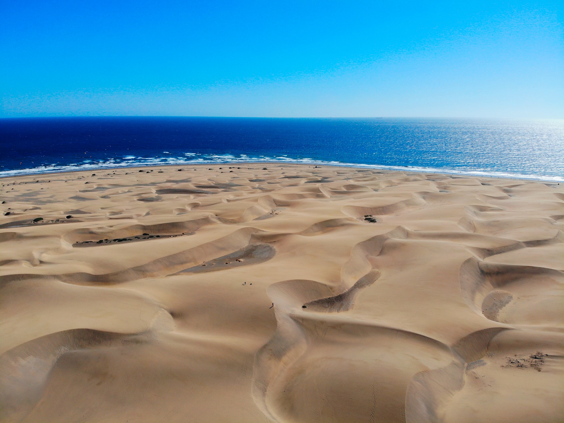
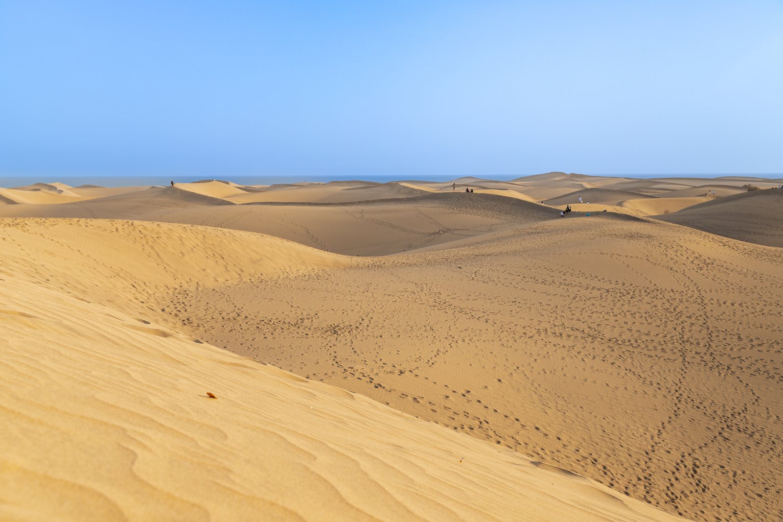
On Gran Canaria’s southernmost tip lies the Maspalomas Dunes Special Nature Reserve, a 400-hectare coastal desert that looks straight out of the Sahara. Yet its geological origin is quite different from popular belief: Maspalomas sand did not blow across from mainland Africa on Saharan dust storms (calima), but was created entirely by the ocean.
Over thousands of years, Atlantic surf ground down marine mollusc shells and calcareous algae over the submarine coastal shelf. Following ancient sea regressions, tidal currents washed these sediments ashore, where north-easterly trade winds drove them inland, sculpting an active dune system that slowly shifts south-westward towards the sea.
Maspalomas Nature Reserve key facts
Three ecological sectors of the reserve
The reserve is not an empty sandbox, but an interconnected ecological sanctuary consisting of three distinct zones:
- The mobile dune system: Shifting barchan dunes and crescent ridges rising 10 to 15 metres high. Plants here are highly adapted, such as the balancón bush (*Traganum moquinii*), which traps blown sand to build initial pioneer hummocks.
- La Charca Lagoon: A brackish coastal lagoon separated from the ocean by a sandbar. It serves as a vital feeding haven for migratory birds travelling between Europe and Africa, including grey herons, little egrets and Kentish plovers.
- The Maspalomas Palm Grove: An oasis of native Canary Island palms (*Phoenix canariensis*) thriving along the inland boundary, sustained by groundwater from the Fataga ravine.
Strict conservation rules: fines for off-trail walking
Decades of unchecked tourist foot traffic severely damaged fragile dune dynamics and led to massive sand volume loss. In response, environmental authorities launched the *Masdunas* conservation scheme with strict enforcement:
The Lighthouse and La Charca Lagoon
At the western end of the reserve stands the Maspalomas Lighthouse (Faro de Maspalomas), designed by Canarian engineer Juan de León y Castillo and first lit in February 1890. Its 55-metre dressed-stone tower presides over the coastal boulevard and houses a local ethnographic museum. From its base, a scenic wooden boardwalk leads along La Charca with bird-watching viewpoints.
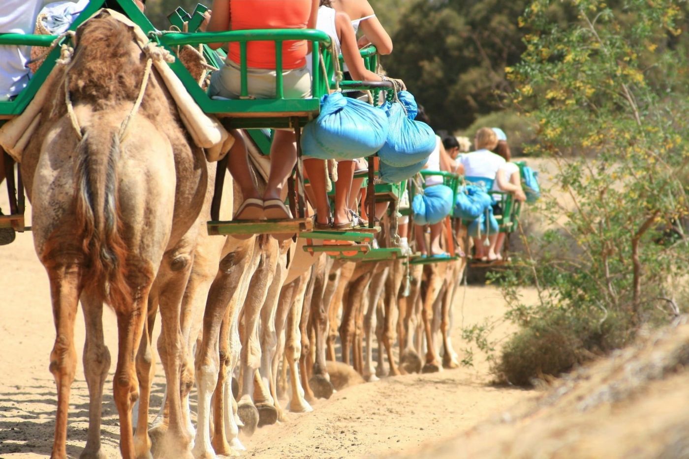
Activities around Maspalomas

How to walk across the dunes safely
- Starting viewpoint: Begin at the Mirador de las Dunas next to Hotel Riu Palace Maspalomas. From here, marked Trail No. 3 heads gently down towards the ocean.
- Extreme sand heat hazard: Never walk barefoot between 12:00 and 5:00 PM. Dark volcanic minerals absorb solar radiation, pushing sand surface temperatures beyond 55 °C and causing severe blistering in seconds.
- Visual navigation: Rolling dunes look identical in all directions. When walking towards Playa del Inglés, keep the lighthouse or the ocean shoreline in sight and stick strictly to marked posts.
- Hydration and sun shield: Relentless breezes mask dehydration. Always carry at least 1 litre of drinking water, sunglasses and high-SPF lip balm.
Things to do on the island
Experiences in Gran Canaria
Plans on the island, with duration and price up front.
See all 53 experiences in Gran Canaria