Guide La Palma
Volcanoes route in La Palma: GR-131 trail
Guide to the Volcanoes Route in La Palma: GR-131 trail from El Pilar to Fuencaliente lighthouses, volcanic craters, taxi logistics and gear.
Contents
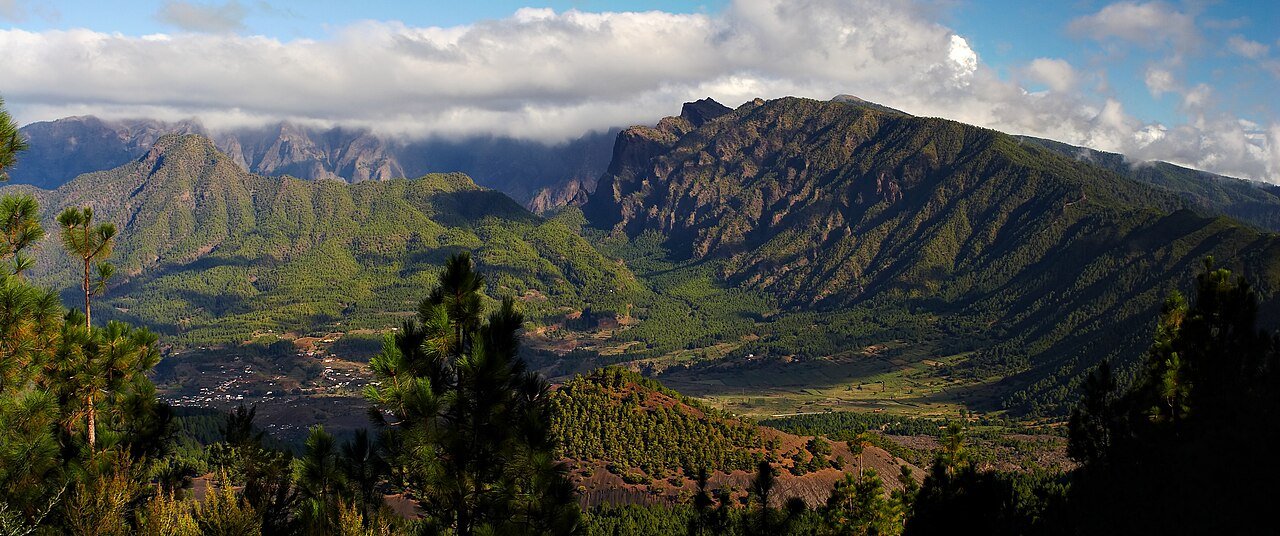
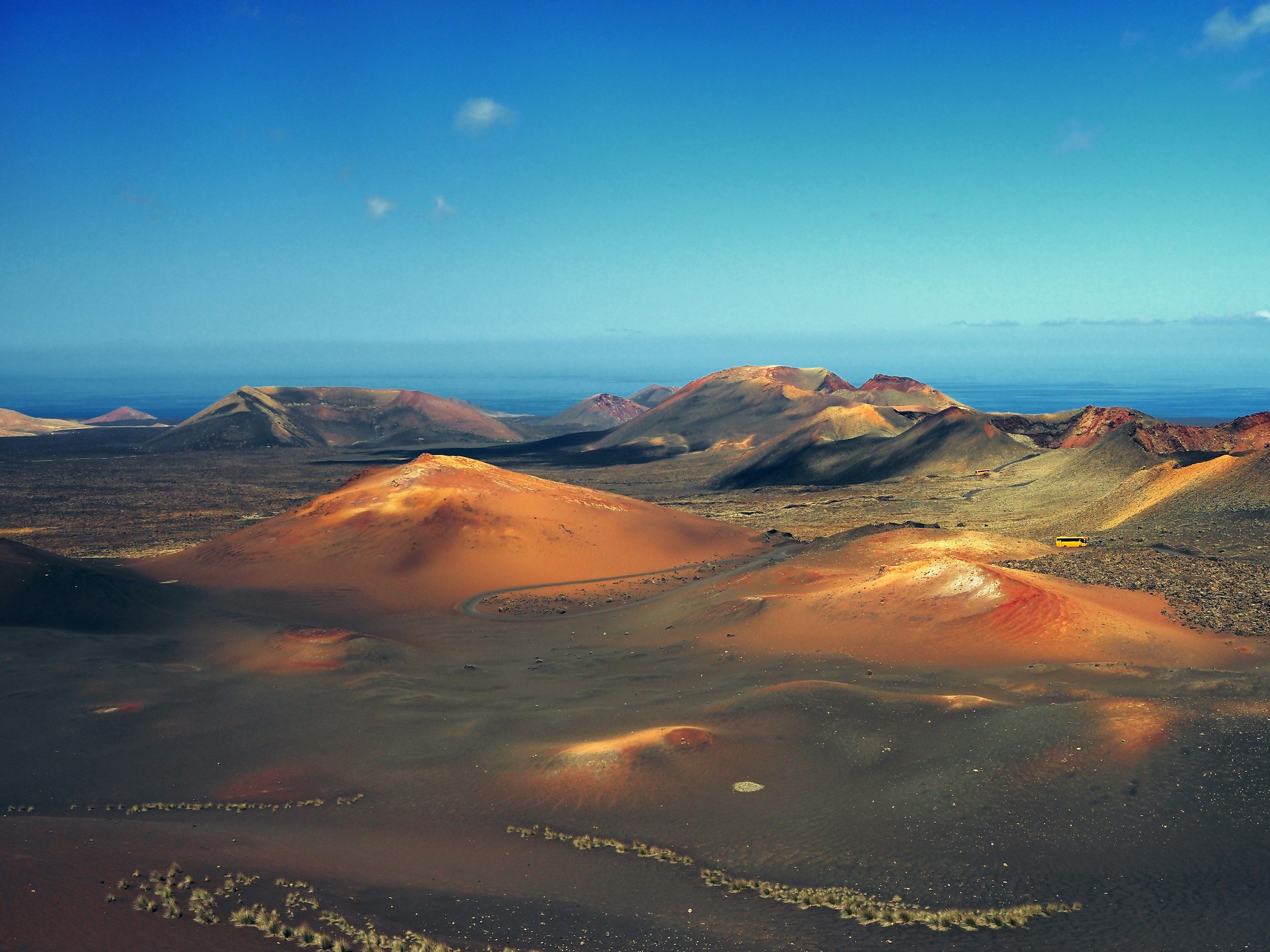
The Volcanoes Route (Ruta de los Volcanes) is La Palma’s most iconic long-distance trek and one of the finest geological ridge walks in the world. Following the southern section of the long-distance GR-131 trail across the spine of the Cumbre Vieja Natural Park, this mountain hike traverses one of the most volcanically active rifts on Earth, connecting craters, ash fields and solidified lava flows from high pine ridges down to coastal salt flats.
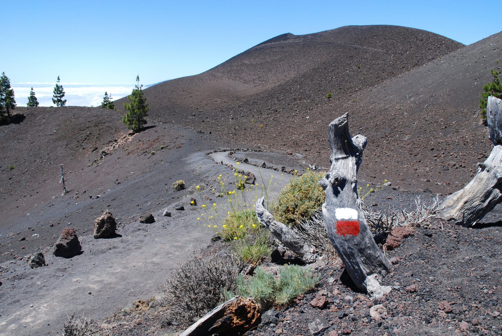
Trekking over jet-black lapilli gravel with simultaneous ocean vistas on both horizons—the Atlantic opening eastward towards Tenerife and La Gomera, and westward across the fertile Aridane Valley—feels like walking the spine of a newly formed planet.
Volcanoes Route trekking summary
Classic route from Refugio del Pilar
The trail sets off beneath Canary pine forests at Refugio del Pilar and climbs gradually above the tree line:
-
Hoyo Negro and El Duraznero (1949 Eruption)
The first major craters along the ridge. Hoyo Negro drops over a hundred metres into a pitch-black volcanic pit where not a single blade of grass grows.
-
Las Deseadas (1,949 m a.s.l.)
The highest elevation on the route. On clear mornings, the silhouettes of El Hierro, La Gomera and Mount Teide float above the trade wind sea of clouds.
-
Volcán Martín de Tigalate (1646)
A brightly coloured volcanic cone of red and yellow ash that contrasts with emerald Canary pines colonising surrounding slopes.
-
Los Canarios & San Antonio Volcano (1677)
Arrival at Los Canarios village. Energetic hikers can continue another 6 km past Teneguía Volcano (1971) down to the sea salt pans and lighthouse.
San Antonio volcano crater and Fuencaliente
Transport logistics and essential advice
- Parking and taxi strategy: As this is a one-way linear trek, park your car early in Los Canarios (Fuencaliente) and take a local taxi up to the trailhead at El Pilar (around €35). You will spend the day hiking directly back to your car.
- Carry abundant water (minimum 2.5 litres): There are zero water sources, shops or shade along the entire 18-km high-altitude ridge. Black volcanic ash radiates heat, increasing dehydration.
- Windproof jacket and neck gaiter: Ridge winds can be ferocious at nearly 2,000 metres. A technical windbreaker and neck gaiter protect against airborne volcanic dust.
- Trail gaiters recommended: Walking on loose lapilli gravel (*picón*) kicks abrasive pebbles into shoes; low hiking gaiters are highly recommended.
Things to do on the island
Experiences in La Palma
Plans on the island, with duration and price up front.
See all 8 experiences in La Palma